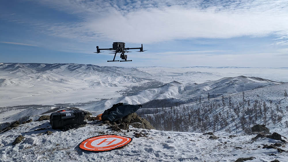
Gathering data is an essential step in any scientific research. In geosciences, we mostly do that either through in-situ fieldwork, or through satellite remote sensing. These two methods leave a gap in either ground coverage or ground resolution, that drone based data acquisition neatly fills: square kilometer scale, centimeter resolution. This allows the study of landscape features in a way that was simply impossible before. In this talk, we will explore a number of field campaigns performed in partnership with the recently founded DroneLab@UiO, highlighting the various capabilities of the equipment that was deployed, from photogrammetry cameras, to LiDAR and thermal imagery systems.
Luc Girod has been employed at the University of Oslo for over a decade, first as a PhD candidate focusing on the use of photogrammetry in cryospheric sciences, then as a Senior Engineer in charge of remote sensing and surveying data processing, and is now leading the activities of the DroneLab@UiO.
___________________________
Once a month, researchers at the Department of Geosciences, University of Oslo, will tell about their research and introduce the geociences to a wide audience, from first-year undergraduates, colleagues to interested in general. It is possible to ask questions after the lectures.
Coffee/tea are served. Everyone is welcome!
The lectures are streamed. You can watch the stream at Realfagsbiblioteket YouTube-channel.